We got to the trailhead around 7am.
(We actually ditched our car about a mile back due to washboarded terrain and hiked in to this point.)

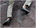
Not many switchbacks for a bunch of 14,000 ft. mountains.

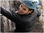
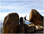
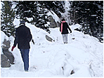
Kate bounds across a chilly little creek and to get us started.
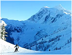
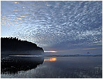
Mt. Lincoln and the surrounding range was covered in a thick fog.

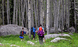
We hiked through it for the first couple hours.


The clouds began to clear around 12,800 feet.
We both started snapping photos as though we'd never see the blue sky again.

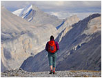
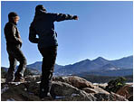
The arrow marks where we started hiking.

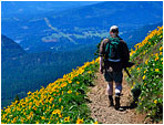
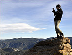
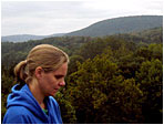
That faint zig-zag behind me is the trail to the top of Mt. Democrat.

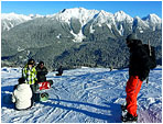
Once we got the the main ridge, there were incredible views in every direction.

Up ahead is the first of several false peaks that stood between us and Mt. Cameron.

We took a quick breather at the top of Mt. Cameron.

No rest for the weary. We continued on towards Mt. Lincoln.

Kate was not pleased with how much distance remained, but we could at least see the peak from here!

Our peak seemed to get further away the more we hiked towards it.

The saddle between Mt. Cameron and Mt. Lincoln didn't ever seem to dip below 14,000 ft.


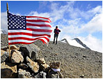
We were up there.
14,100+ ft. and plenty to look at.


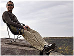
At long last, a view from the top.


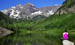
We hiked back down into sweeping views.


Kate was happy to finally reach this sign which meant we were probably less than 2 miles from the bottom.

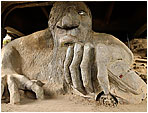
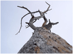
An old mining hut?


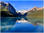
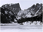
Looking back on the trail under clear skies.
(Mt. Cameron and Lincoln are out of view to the right)