Virgin Islands Interactive Map
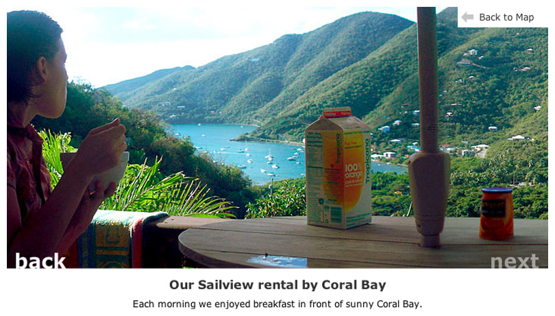
A trip to St. John inspired me to turn travel photos into something more immersive that the photo gallery I typicall share. Because the island is compact and easy to explore, I designed an interactive map that shows where each moment took place, letting users discover beaches, trails, and towns the way I did—through place and proximity rather than a timeline.
Project Highlights
- Blended photography and interactive design to create an engaging, exploratory experience for friends and family.
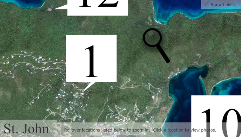
- Built an intuitive zoom-in/zoom-out navigation system for exploring St. John at multiple levels of detail.
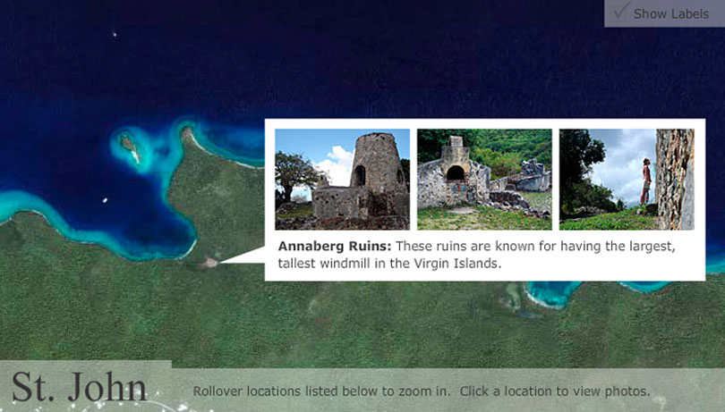
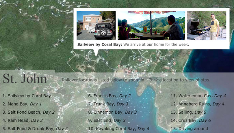
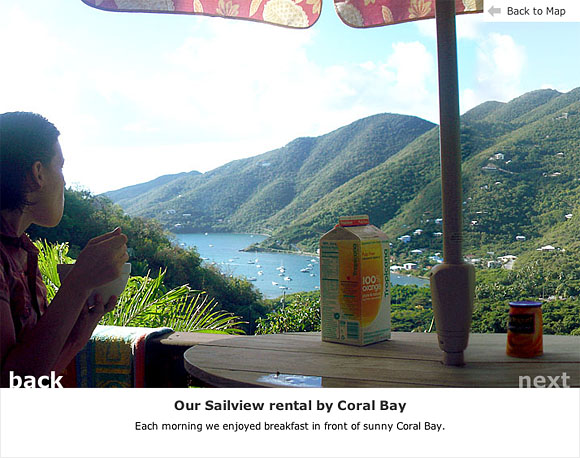
- Integrated photos and video into a dynamic slideshow, including interactive panoramic-style imagery.
- Designed a structured data model to manage 100+ images and captions, with smart loading techniques to optimize performance and bandwidth.
- Interactive Design
- Interactive Maps
- Interactive Storytelling
Project Info
Personal work, just for fun!
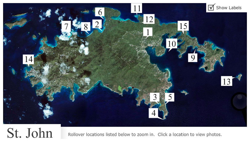
Map of St. John
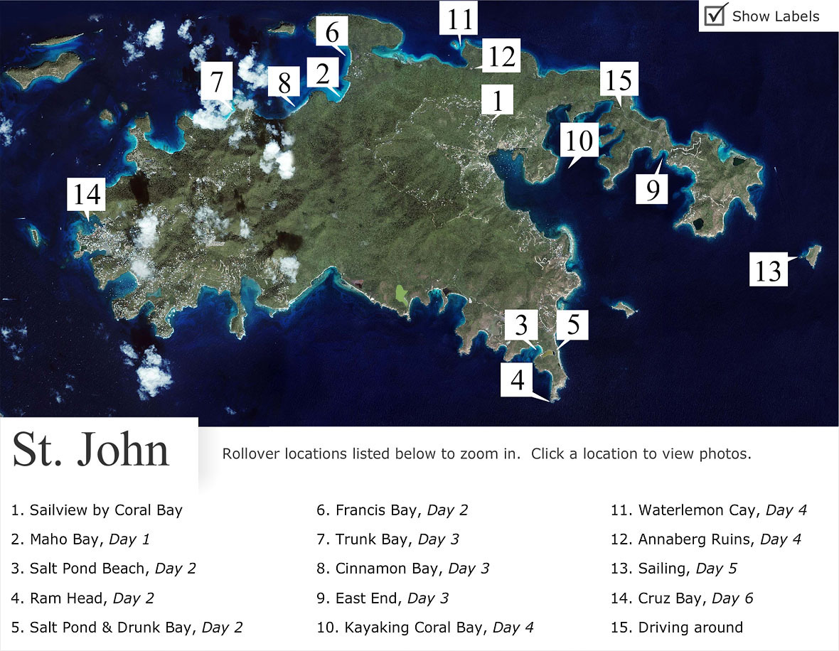
This is the island of St. John. Below the map is a list of all the places I explored on the island. I designed a system that allows one to explore the island and the places I visited in a number of ways.
Explore St. John in Detail
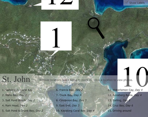
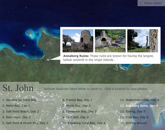
You can click on the map to zoom in to geographically explore the island in greater detail and then click any of the markers to view photos from that area further.
Quick Navigation
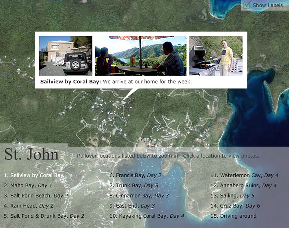
Or you can simply use the legend below the map to quickly choose a spot of interest and view photos and video from there.